
Finding Who Lives on Azusa Streets
An address search can build a record path, but it cannot promise a list of all occupants. Start with the address in the Los Angeles County Assessor Portal. The result supplies a parcel key and physical facts. The county parcel viewer then shows the lot and nearby polygons. City permit records add work and applicant clues. The recorder’s index adds deed parties only after a likely name and year are known. Historical directories and census schedules can add occupants for past dates.
Walk the chain in a fixed order. Keep the unit number, directional prefix, suffix, cross street, and alternate spelling. If the address does not resolve, try the AIN from a deed or tax record, then compare the legal description. That small discipline keeps a by-address trail tied to the same parcel while the street text changes.
- Run the full street address through the Los Angeles County Assessor property search.
- Record the AIN, situs, map reference, and legal-description clues.
- Open the Los Angeles County Assessor Parcel Viewer and select the parcel and adjacent polygons.
- Check the City of Azusa permit route by permit number, owner or applicant, address number, and street name.
- Use a party name and approximate year at the RR/CC index, then compare the deed chain with historical occupants.
Turn an Azusa Address into an AIN
The assessor search is the first technical step in an Azusa street directory because the AIN is more stable than ordinary street text. Public inputs are the property address and Assessor Identification Number. Results typically return the situs, AIN, map page, use code, land and building characteristics, roll values, and tax-rate area. The public web route does not advertise an owner-name search, so the result should be read as parcel evidence rather than a complete resident record.
| Search control | What it does | Limit to keep in mind |
|---|---|---|
| Property address | Finds the situs parcel from street text. | Postal formatting or a changed number may prevent a hit. |
| AIN | Opens a parcel by its county identifier. | It identifies land, not every household member. |
| Map reference | Links the result to parcel geography. | Map location does not supply private occupant data. |
| Use and roll fields | Describes property type and assessed facts. | Values and characteristics are not proof of residence. |
The Assessor property-search screen captures this address-to-AIN route.
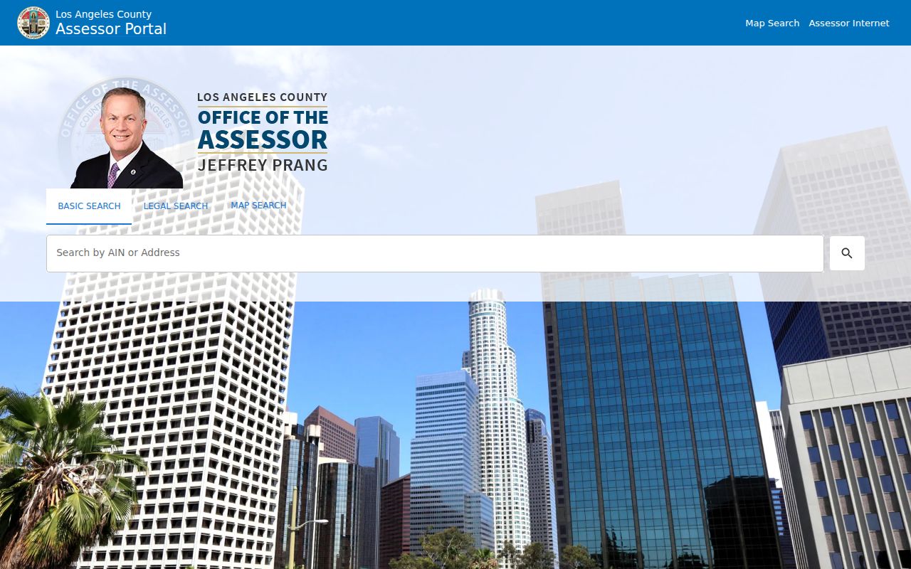
Once the AIN is in hand, it can tie the map, permit, tax, and deed parts of a street directory together.
Map Azusa Parcels Along Streets
The parcel map adds the spatial layer. Search by address or AIN, zoom to the lot, select the parcel, and then select adjacent polygons. The Los Angeles County Assessor Parcel Viewer is suited to parcel layout and adjacency. The City of Azusa Interactive Maps and GIS adds city layers such as zoning, building footprints, traffic counts, street sweeping, historic properties, parks, schools, and engineering or planning information.
Map layers answer different questions. A parcel boundary can show which lot touches another. A zoning layer can show a district or corridor. A historic-property layer can explain why a building deserves a deeper archive search. None of those layers turns a polygon into a public list of residents, and the research did not verify a buffer or export tool that should be promised as a people search.
The Azusa GIS page shows the city mapping context used for address work. Use the city map to check jurisdiction and physical continuity before reading a tax or deed result as an Azusa fact.
Azusa Records Searchable by Street
Several Azusa record sets can be reached from a street address, though each reveals a different slice. The table keeps those slices distinct. The assessor and map are the parcel base. Permits show work and participants. Deeds require a party and year. Voter access is restricted, and historical reverse directories must be located through a library or archive.
| Record set | Keeper | Street-level clue | Access |
|---|---|---|---|
| Assessment parcel | Los Angeles County Assessor | AIN, situs, map, characteristics | Free address or AIN portal |
| Parcel geography | County Assessor and Azusa GIS | Boundaries, adjacency, zoning, footprints | Free interactive maps |
| Recorded instruments | RR/CC Real Estate Records | Grantor, grantee, legal description, year | Norwalk name-and-year index |
| Building permits | City of Azusa | Work, status, applicant, contractor clues | Portal or city request |
| Reverse directory | Library or archive | Past occupant or telephone by address | Exact Azusa run unverified |
A street directory is strongest when the AIN remains the bridge. A street name alone can point to the wrong parcel after a number change, direction change, subdivision, or postal normalization.
Azusa Situs and Mailing Address
Situs is the physical location of the taxable parcel. Mailing address is where a notice is sent. The two can differ, and a mailing line may point to an owner elsewhere, a manager, a service address, or a postal box. That distinction keeps an Azusa street directory from turning tax correspondence into a claim about who sleeps at the property.
- Parcel
- A mapped unit of land identified by the assessor and often by an AIN.
- Situs address
- The physical address used to locate the parcel in the tax or map system.
- Legal description
- The deed language that identifies land through a tract, lot, map, or related description.
- Plat
- A recorded or mapped plan that helps relate lots, streets, and boundaries.
- Criss-cross directory
- A reverse directory arranged by street and house number, with occupants or telephone clues when a local volume exists.
Record the field name beside every fact. That simple habit makes later deed, permit, and historical searches easier to audit.
Why the Azusa Recorder Cannot Search Streets
The Los Angeles County Registrar-Recorder/County Clerk keeps recorded deeds, deeds of trust, liens, releases, plats, and other instruments from the county’s early years. Its public index is not online. The index is alphabetical by party name and year, with a grantor or grantee role. The office will not accept a telephone index-search request and cannot turn an address or AIN into the needed party lookup.
Arrive at Norwalk with a likely party name and approximate year. Find the index entry, write down the document number and title, and retrieve the image or book reference. Then use the opposite party and an earlier year to continue backward. The access page separates 1851-1957 on the lower level from 1958-present on the second floor. Copy requests come after the document is identified, not before.
The RR/CC recorder instructions show the counter-based path. This is the local quirk that separates the street directory from a simple address search: the parcel clue must be converted to a person and year before the deed index can be used.
Add Azusa Permit History
Azusa’s direct permit portal, permits.azusaca.gov, accepts Permit Number, Owner or Applicant, Address Number, and Street Name beginning. The street-prefix control can help browse a corridor, but it is not a resident roll. The Building Division handles building, plumbing, electrical, mechanical, and demolition permits. The city also publishes monthly issued-permit listings, with at least 2024 visible in the research set.
A permit can date work and identify an applicant, contractor, or project status. The Real Property Records Report form can contain property address, owner or seller, applicant and current address, APN, year built, accessory structures, additions, unit or occupant count, agent and DRE number, business-license number, and case dates. Those fields describe a compliance or presale record. They do not establish that every named person lived at the address.
For a disputed or missing permit, use the Azusa Building Division or a focused city request. Keep permit evidence next to the AIN and deed clue, rather than treating an applicant name as the household.
Read an Old Azusa Street in Reverse
The historical side of an Azusa street directory begins with a house number, not a modern name search. A reverse or criss-cross volume may arrange street, number, occupant, and telephone. The exact Azusa publisher and year run were not published in the official sources inspected, so a library reference request is safer than a guessed citation. The Azusa City Library asks staff to check unlisted directories, telephone books, school annuals, obituary files, and vertical files.
Pair any directory hit with the federal census through 1950. Note the first and last appearance, spouse or household changes, occupation, and street number. If a name disappears, consider a move, nonresponse, a publication gap, an address change, or an adult who was not listed as head. A missing line is a clue to test, not proof that a home was empty.
The Azusa city directory collections page handles the historical shelf in full, while this street directory keeps the focus on the address chain.
Azusa Streets and ZIP 91702
USPS routes mail, while the city and county define jurisdiction. ZIP Code 91702 is consistently associated with Azusa in the official searches, but the postal city line does not prove incorporation. It can include nearby unincorporated territory, and a city or utility record can cross a boundary. Confirm the parcel in city or county GIS before a street directory result is labeled Azusa.
The USPS ZIP Code Lookup can standardize the delivery line. The assessor then resolves the address or AIN, and Azusa planning or GIS confirms the municipal side. Official mapping names corridors such as Foothill, Arrow, Azusa Avenue, San Gabriel Avenue, South Azusa Avenue, and other north-south and east-west streets, but the street record still needs a parcel key.
What an Azusa Street Directory Omits
No public street directory gives a full household census. Private household members, children, unregistered adults, utility customers, delivery records, and protected voters can remain absent. The voter self-lookup is not a block browser. The county street-index product is purpose restricted, requires an approved use and contract, and is not a casual neighbor list. DMV address data is also controlled by federal and state privacy rules.
Privacy limit. Address records in Azusa are for lawful personal research, family history, property curiosity, and civic use. Following a person, threatening them, or using records to harass or harm anyone can violate California law.
When the goal shifts from a whole street to one person, use the narrower Azusa resident lookup workflow. When it shifts to adjacent parcels, use the neighbors route. Keeping the question narrow is part of accurate record use.
Bridge Azusa Street Renames
An old address may not match a new search string. The research did not locate an authoritative Azusa renumbering chronology, so avoid claiming a specific change year. Compare the AIN, legal description, subdivision or tract, parcel map, deed, council ordinance, Sanborn map, and newspaper notice. Those anchors can bridge a directional change, a new street suffix, a number shift, or a postal normalization.
Keep the original form of the address beside the normalized form. Search both in the Azusa Herald archive and any library directory. If the parcel remains constant while the street text moves, the legal description carries the chain. If the parcel splits, record the old and new AINs before reading a later owner or permit as a continuation.
The result is a street directory built from traceable parcel evidence, not a list made by swapping names into a template. That is the only safe way to say what an Azusa address record shows.